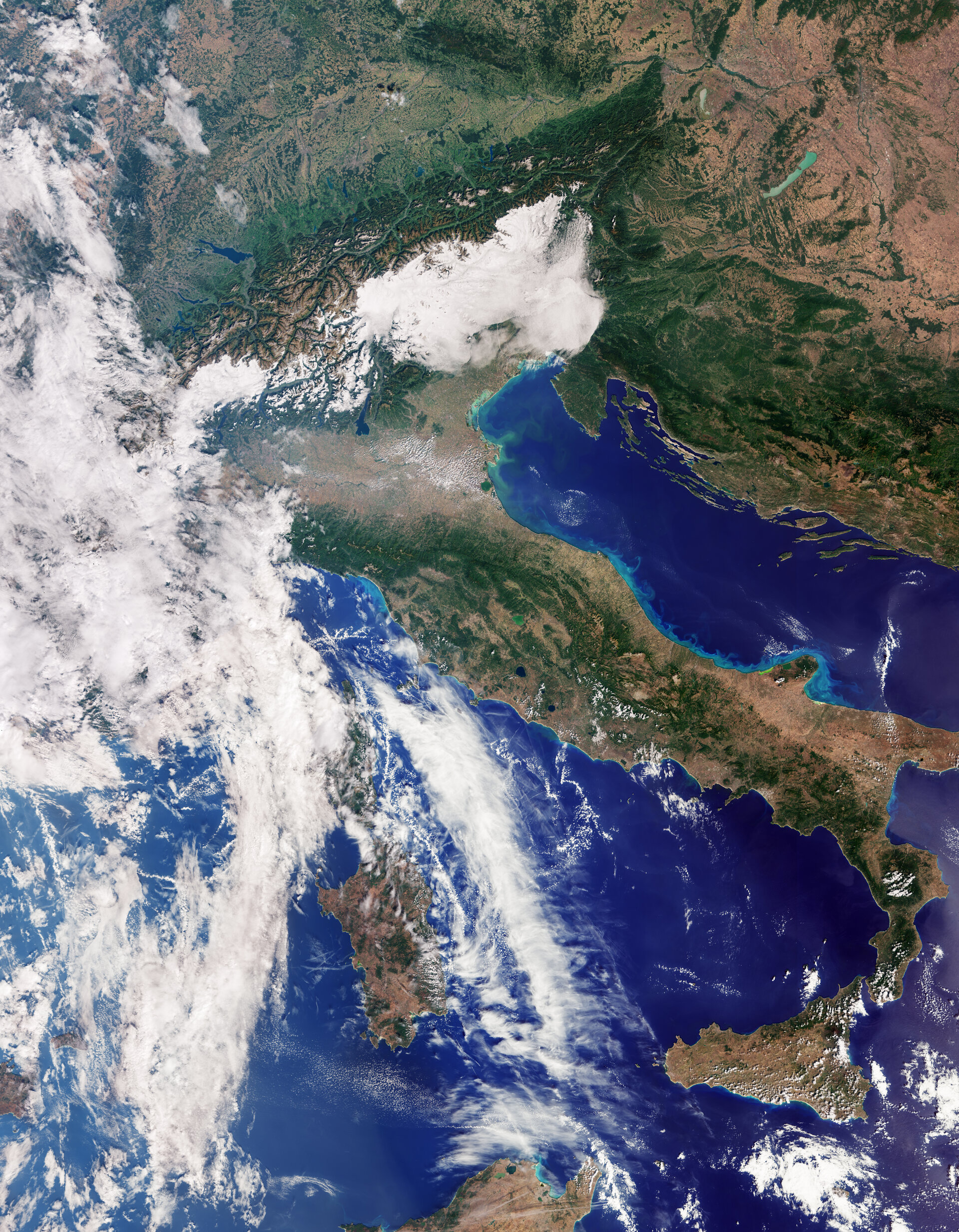
ESA's Copernicus Sentinel-3C Returns First Images and Measurements Two Weeks After Launch
The European Space Agency (ESA) announced on 8 October 2026 that the Copernicus Sentinel-3C satellite returned its first images and measurements from key instruments just two weeks after launch, providing early confirmation that the spacecraft and its payload are functioning as expected.
The initial dataset includes natural-colour imagery from the Ocean and Land Colour Instrument (OLCI) captured on 30 September, and radar altimetry measurements of ice-sheet and sea-surface height from the satellite’s Synthetic Aperture Radar Altimeter. The imagery and measurements show detailed views of Italy, the Arctic and the Caribbean, illustrating the mission’s broad remit across oceans, land, cryosphere and atmosphere.
Sentinel-3C is the third satellite in the Sentinel-3 series and is part of the Copernicus programme. ESA described the mission as the workhorse for Copernicus, carrying an identical suite of instruments across the Sentinel-3 satellites to ensure systematic, long-term observations. These instruments are designed to measure sea-surface temperature, ocean colour, sea-surface height, sea-ice thickness, vegetation and land use, as well as the height of rivers, lakes and polar ice sheets.
The OLCI image of Italy captures a broad swath from southern Germany in the north down to Sicily and the southern Mediterranean. ESA notes that the Po Valley is clearly visible as a flat agricultural plain, while the snow-capped Alps form a distinct contrast with surrounding lowlands. Variations in green and brown across the peninsula reflect differences in vegetation and land cover, and changes in sea colour are visible along the Adriatic coast. These natural-colour views are intended both for visual confirmation of instrument performance and as operational data for applications such as monitoring coastal waters, marine pollution and marine heatwaves.
Alongside optical imagery, Sentinel-3C’s radar altimeter has delivered early measurements of the Greenland ice sheet and sea-surface height. ESA highlighted these measurements as examples of how Sentinel-3 contributes to monitoring polar ice and ocean topography—data that feed into operational services and climate records. The agency also emphasised the mission’s role in providing near‑real‑time parameters for weather forecasting and for monitoring long-term changes associated with climate change.
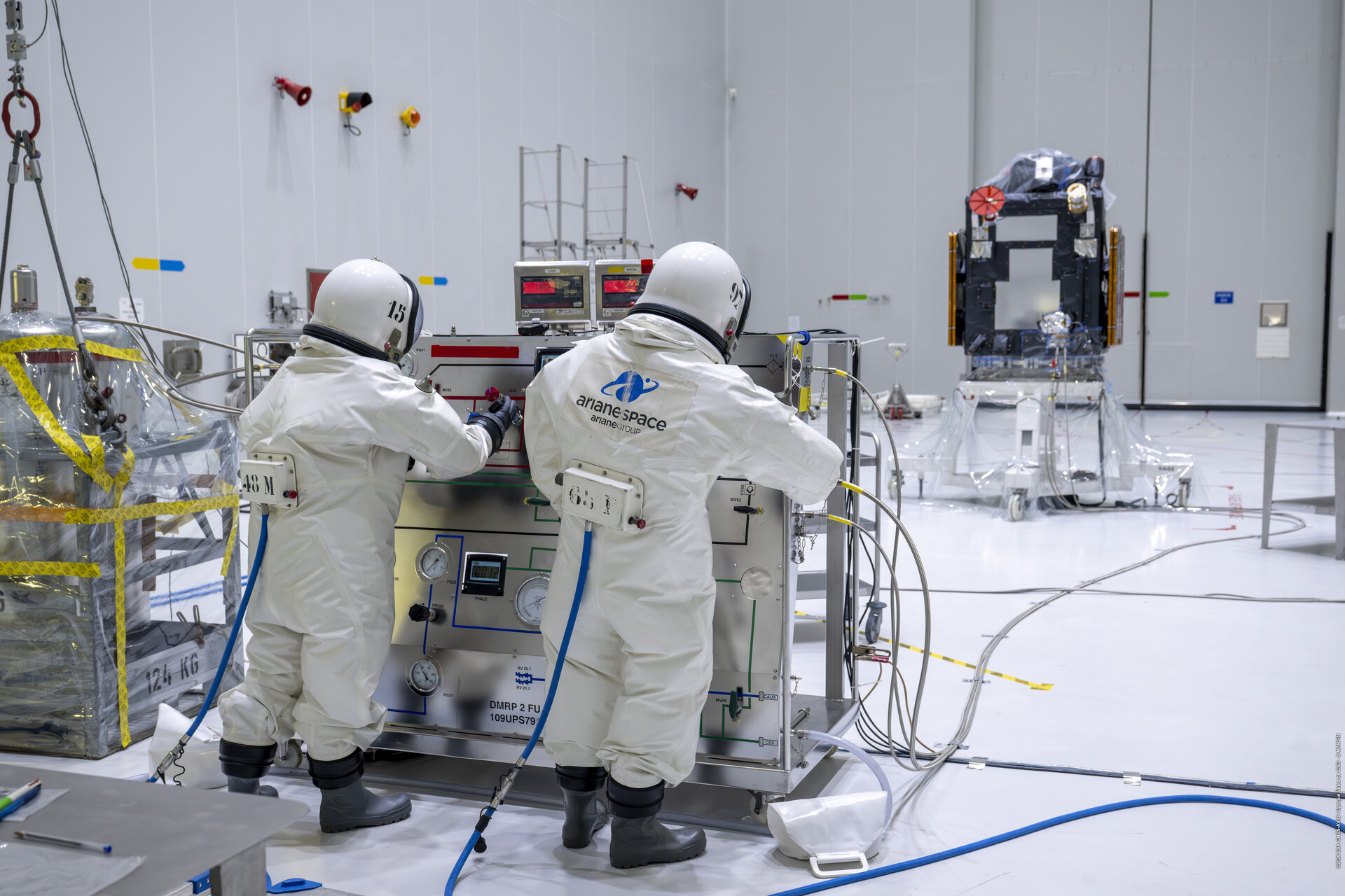
ESA stated that the satellite is still in the commissioning phase, a careful and detailed process that will take another five months to complete. Commissioning involves instrument checks, calibration and validation activities that transform a newly launched platform into a routine operational contributor to Copernicus services. Despite this ongoing commissioning, the early images and altimetry data show that Sentinel-3C is "on the road to excellence," according to ESA.
Sentinel-3’s suite of measurements has a wide range of practical applications. Over oceans, the mission measures temperature, colour and height of the sea surface, and sea-ice thickness—parameters used to monitor marine pollution, marine heatwaves and ocean circulation. Over land, Sentinel-3 monitors drought and wildfires, maps land use, assesses vegetation health and measures inland water bodies. In polar regions, altimetry measurements of ice‑sheet elevation provide critical inputs for understanding mass balance and sea-level contributions.
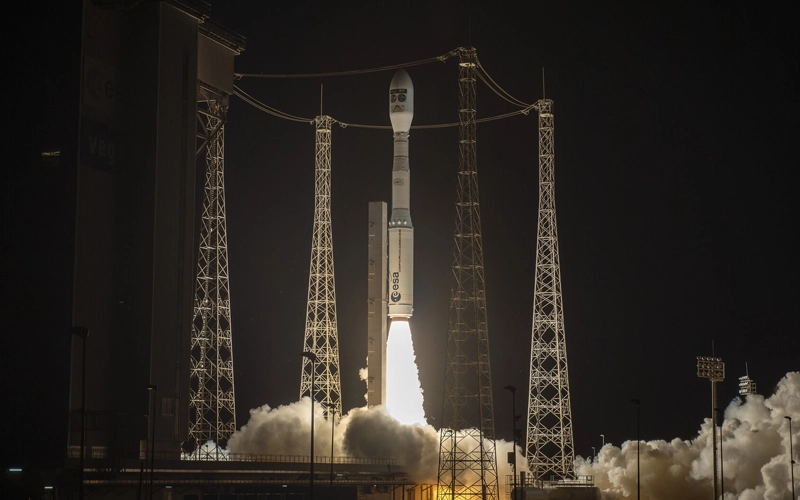
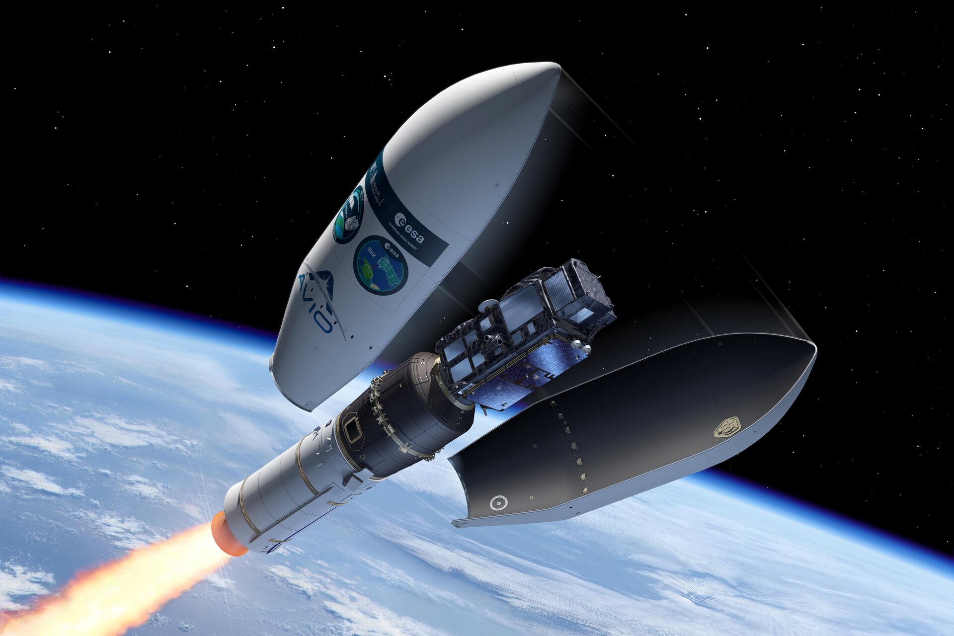
Sentinel-3C was launched alongside the Earth Explorer mission FLEX on 15 September 2026 from Europe’s Spaceport in French Guiana aboard a Vega-C rocket, a pairing reported in ESA launch coverage and supplementary briefings. That dual launch reflects efforts to enhance Europe’s coordinated Earth-observation capabilities by adding new sensors and by completing constellations that deliver frequent, consistent observations.
Historically, the Sentinel-3 programme began in 2016 with Sentinel-3A and has since provided a decade-plus record of oceanic and land observations. Sentinel-3C continues that record, ensuring continuity and improving temporal coverage when combined with its sister satellites. The early return of imagery and altimetry from Sentinel-3C demonstrates the operational approach of Copernicus missions: standardised instrument suites on multiple satellites to create long-term, interoperable datasets.
Looking ahead, once commissioning is complete, Sentinel-3C will join the Sentinel-3 fleet in routine operations, delivering data that support environmental monitoring, weather forecasting and climate research. ESA’s measured announcement underscores that while the initial results are promising, full operational status requires the completion of scheduled commissioning activities and continued validation against ground truth and other spaceborne assets.
For users of Copernicus data—ranging from marine and agricultural managers to weather services and climate scientists—the arrival of Sentinel-3C represents an incremental but concrete increase in observational capacity that contributes to monitoring the health of Earth systems.
Sources:European Space Agency, "Sentinel-3C returns its first views of Earth", 8 October 2026.