The Southwest Research Institute (SwRI) is at the forefront of developing cutting-edge payload electronics and flight software for NASA's Landsat 10 mission, a collaborative effort with the U.S. Geological Survey (USGS). This mission, scheduled for launch in 2031, aims to enhance Earth observation capabilities and is a continuation of the long-standing Landsat program.
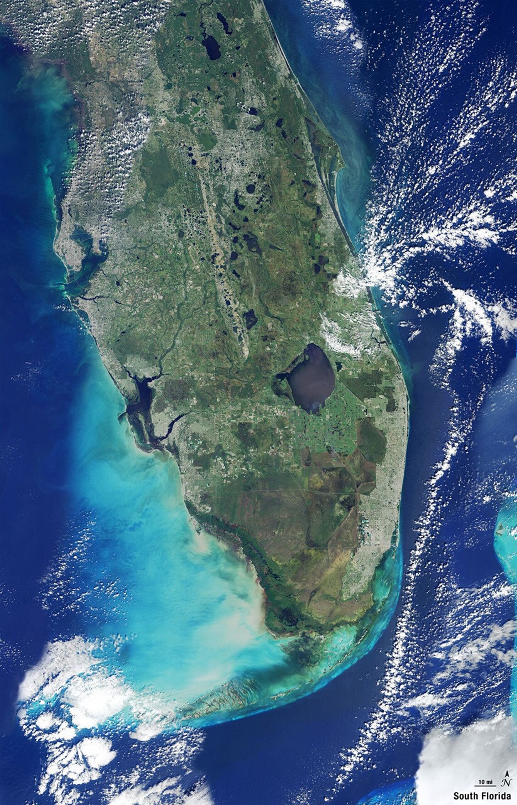
The Landsat program has been a cornerstone of satellite-based Earth observation since its inception in 1972. Over the past five decades, nine Landsat satellites have been launched, collectively providing over 10 million images of Earth. These images have been crucial for various applications, including monitoring agricultural productivity, managing water resources, and studying changes in land use and ecosystems.
Landsat 10 promises to build on this legacy with improved data collection capabilities. The satellite will incorporate advanced technologies to deliver more precise and higher-resolution imagery. The development of its payload electronics and flight software by SwRI is a critical component of this mission. SwRI's role involves ensuring that the satellite's systems can effectively capture, process, and transmit the data needed for comprehensive Earth analysis.
SwRI, a leader in space research and technology, is implementing sophisticated electronics that will enhance the satellite's performance and reliability. The flight software is designed to manage the satellite's operations, including data acquisition, processing, and communication with ground stations. This software is pivotal in ensuring that Landsat 10 operates seamlessly and meets its mission objectives.
The ongoing collaboration between NASA and USGS on the Landsat program highlights the importance of continuous Earth observation. As global challenges such as climate change and resource management become increasingly complex, the need for accurate and timely environmental data is more pressing than ever. The Landsat program's longevity and success underscore its value as a tool for scientific research and policy-making.
Landsat 10's anticipated launch in 2031 marks another significant step in this enduring partnership. The satellite's enhanced capabilities will contribute to a deeper understanding of Earth's systems, supporting efforts to address global environmental challenges. By providing consistent, high-quality data, Landsat 10 will aid in tracking changes in land cover, forest health, and urban development, among other critical areas.
As SwRI continues to develop the necessary technologies for Landsat 10, the broader scientific community eagerly anticipates the data that this satellite will provide. These advancements are expected to deliver unprecedented insights into Earth's changing landscapes, offering new opportunities for research and application across multiple disciplines.
Looking ahead, the success of Landsat 10 will likely influence the design and implementation of future Earth observation missions. As technology evolves, the integration of new systems and methodologies will continue to enhance the capabilities of satellite-based monitoring. This mission serves as a testament to the ongoing innovation and collaboration between government agencies and research institutions in pursuit of understanding and preserving our planet.